Emlid · 2025
Surfaces
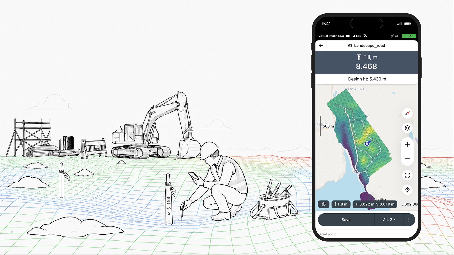
Surveyors had to leave Emlid Flow to work with surfaces. They could not upload, display, or stake out surface files directly, so construction workflows depended on third-party CAD tools and became slower and more cumbersome.
- Desktop
- Mobile
Role
A surface-file workflow in Emlid Flow for construction surveying. I designed the experience for working with surfaces across desktop and mobile, from early concepts and MVP planning to prototype validation and release polish, as part of a multi-designer team.
Research
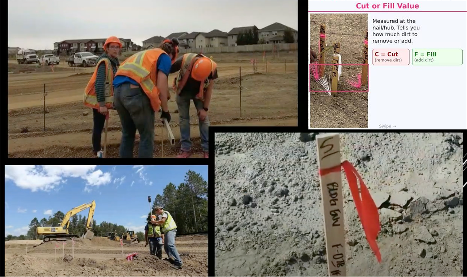
Competitor analysis and interviews with construction experts revealed two main workflows: working with the surface itself, and working with objects within the surface.
Working directly with the surface was the higher-priority scenario, so we used it to define the first release.
Decisions
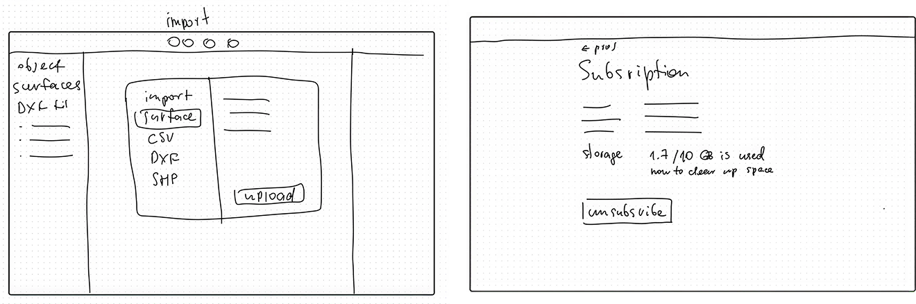
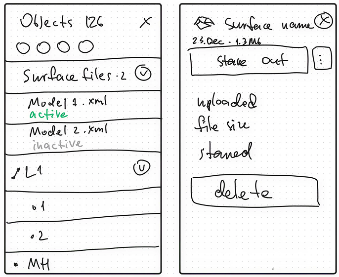
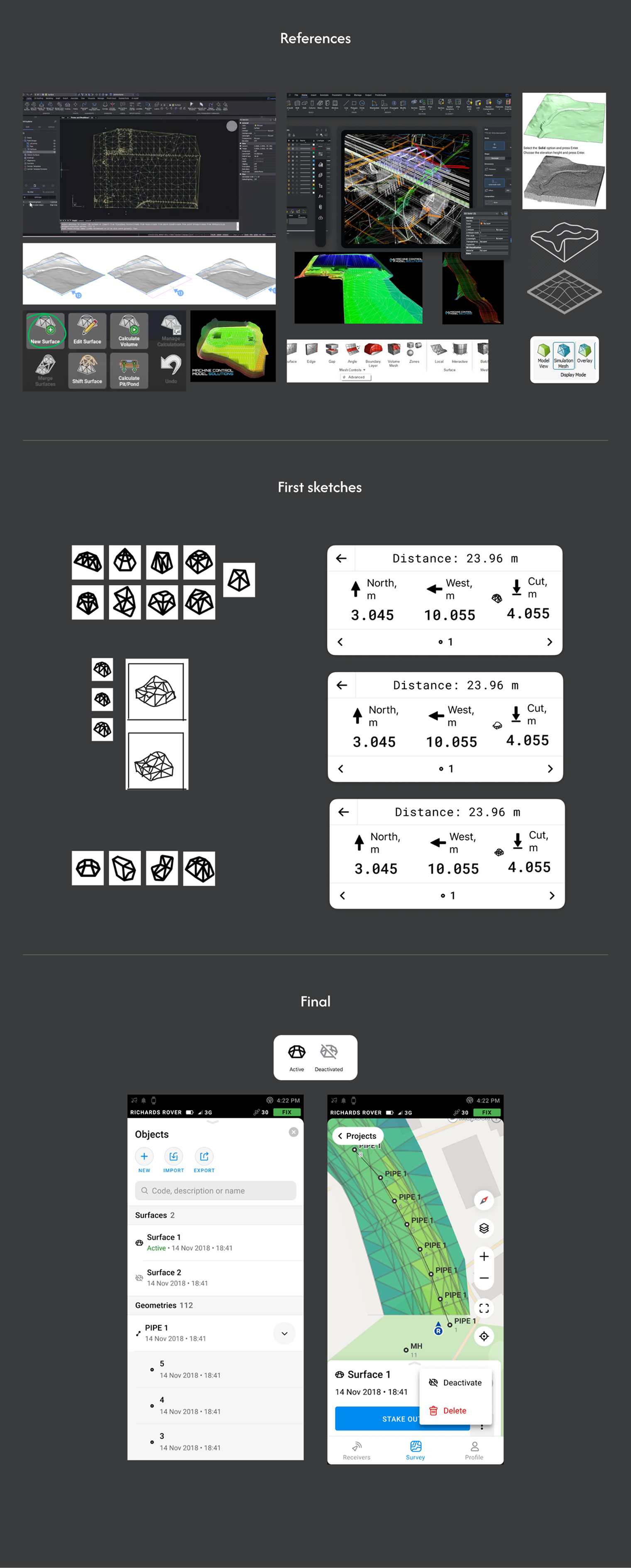
Three decisions shaped the first release.
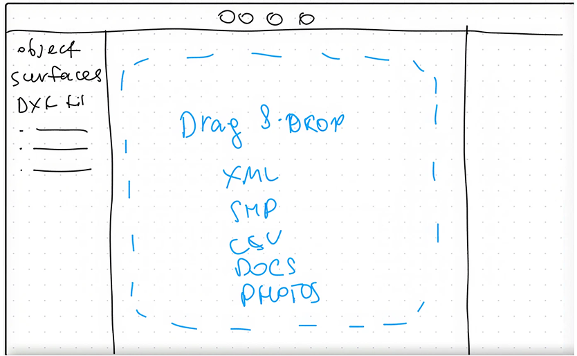
Prototype
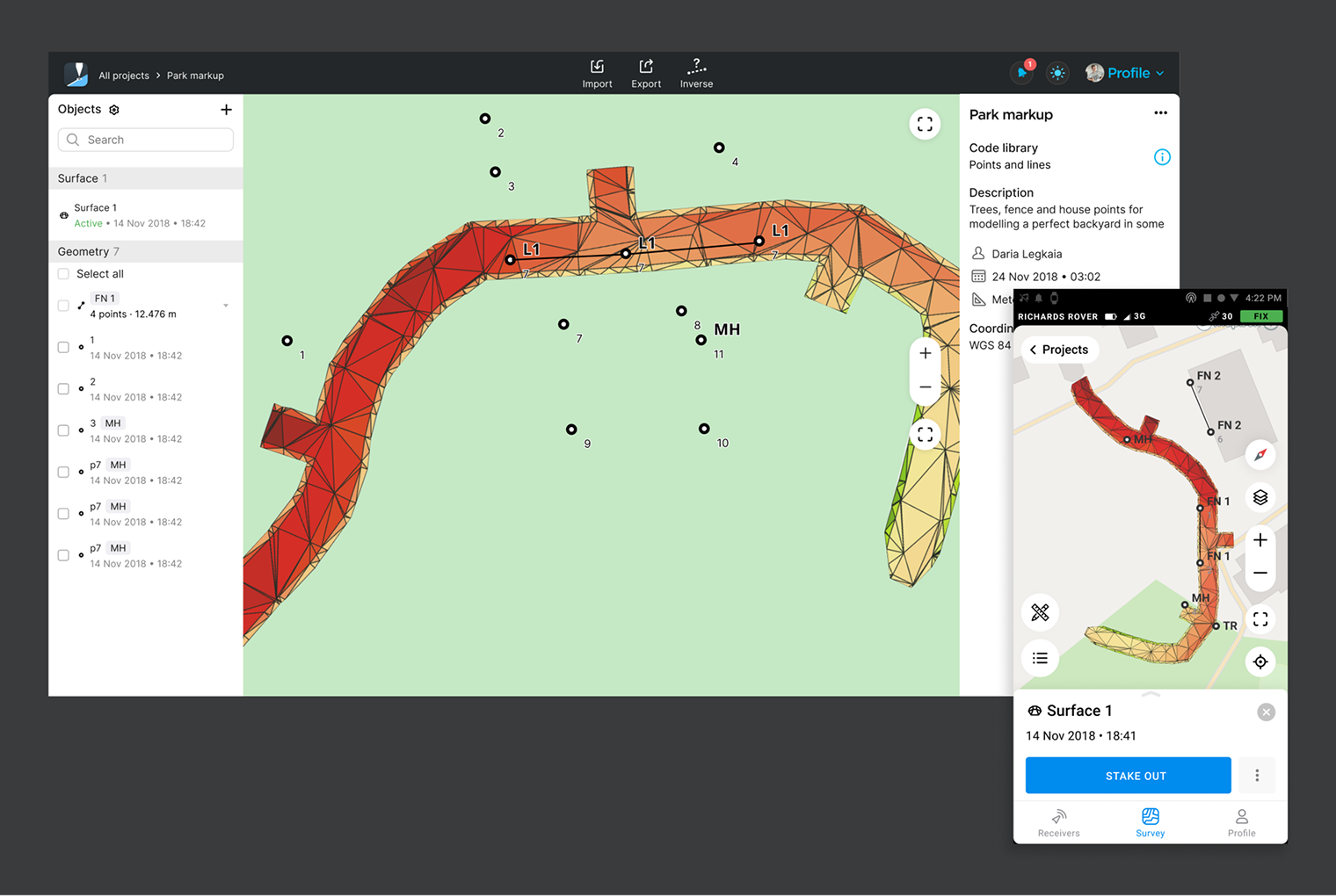
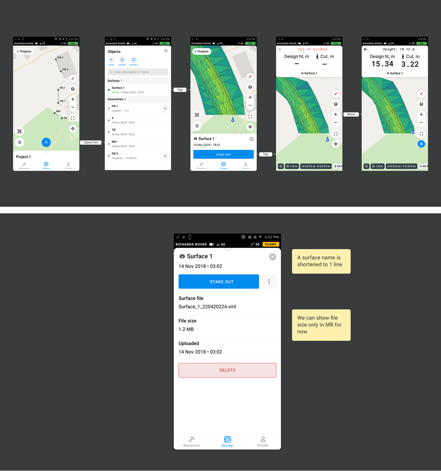
A test surface model let us explore map behaviour before the first working prototype. We then validated the feature with professional users and finished the missing upload states, error feedback and stakeout details before release.
Results
The released feature let surveyors upload, view and stake out surfaces without relying on a separate CAD workflow.
That feature is amazing. And has already made my life super easy. I’ve been asking for it for years, and they have a really nice visual for it too.
Very useful feature indeed, I been using it a lot with other GNSS producers and it's great to see it at Emlid also